 By Kristen Mitchell
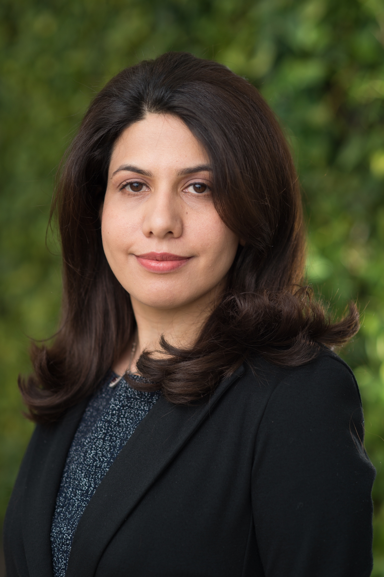
Leila Farhadi, an assistant professor in the School of Engineering and Applied Science Department of Civil and Environmental Engineering, is researching a new way to understand the connections between the world’s water, carbon and energy cycles using data from satellite images. Understanding the links among these cycles will improve models that predict how the environment will respond to climate change, enhancing their ability to predict extreme events such as floods and drought.
Everything in the environment is linked, Dr. Farhadi said. For example, soil moisture determines the partitioning of rainfall between runoff, drainage and evaporation. It also controls partitioning of the sun’s radiation between heat that increases air temperature and heat that evaporates water back into the atmosphere. An increase in soil moisture increases photosynthetic productivity of plants and canopy transpiration; A change in soil moisture changes the atmosphere’s water, energy content and impacts the evolution of near surface air temperature. Researchers know these systems have to work in harmony, but they don’t necessarily know how they interconnect in the real world.
Dr. Farhadi received a five-year, nearly $500,000 National Science Foundation CAREER award for a proposal that aims to improve this knowledge gap. For her project, titled “Observation-Driven Mapping of The Linkages Between The Terrestrial Water, Energy and Carbon Cycles,” she will use a novel observation-driven approach to diagnose and map these relationships from the obscured information embedded in satellite images of land surface.
“We have several annual cycles of satellites going around the Earth, they are measuring surface properties such as soil moisture, soil temperature and vegetation index. We think there is some hidden information in this satellite data that can be extracted for a better understanding of how these linkages actually work,” she said. “The hope is once these connections are properly understood, modelers will use this information and modify their land surface models, improving the predictions.”
Land surface models (LSMs) use quantitative methods to simulate the water cycle and other soil–vegetation–atmosphere interactions in global climate models. The accuracy of these models depend on how the linkages between the water, energy and carbon cycle are represented in these models. Many of the existing LSMs input a single field measurement to deduce these connections over large areas of land, however, water, carbon and energy cycle interactions can vary greatly depending on how every foot of that land is being used. This is akin to taking a measurement of the environmental conditions on the roof of Science and Engineering Hall, and then applying that data to form our understanding of the energy cycle in Washington, D.C., Dr. Farhadi said. We expect these interactions would be different on the National Mall or in Rock Creek Park, a large urban park in Northwest D.C.
Satellite data is more complete and provides consistent imaging and other details across the region, thus eliminating the need to widely apply single field observations.
This method could be particularly useful in determining how remote areas, difficult for researchers to physically access, will respond to climate change. Dr. Farhadi is focused on improving accuracy of land surface models at scales spanning one square kilometer to 10 square kilometers. Hydrological information at these scales is needed for the current and foreseeable range of applications in water resources and water management.
Education
Dr. Farhadi will need on-land measurements of soil moisture to validate results gathered from satellite data. She designed this project to fit into an existing federally-funded global educational framework for measuring environmental variables, so students with an interest in this subject from all over the world will be able to contribute. They will collect field data that aligns with when satellites are circling above that particular region. This will help determine the framework’s accuracy. This data will also assist NASA scientists and others who need to calibrate their own algorithms.
Dr. Farhadi plans to engage GW graduate and undergraduate students in this project. Undergraduate research assistants will collect data, which will then be analyzed, modeled and tested by graduate students. These research assistants also will give presentations on these concepts to local students in grades six through 12 and assist them with hands-on experimental designs to better understand land-atmosphere interactions.
She hopes this will encourage younger students passionate about the environment to explore a STEM education.
“If students feel the work they do is benefiting not only them or their own faculty member or researcher, but scientists from different agencies and people across the world, I feel this would encourage a lot of people,” she said. “They will see it is impactful.”